What is Precision Weed Management?
Precision weed management is a catch-all term for weed management practices that are applied to different areas or to specific plants within a field, based on where problematic weeds are located. This kind of weed management is also known as site-specific weed management or targeted weed management.
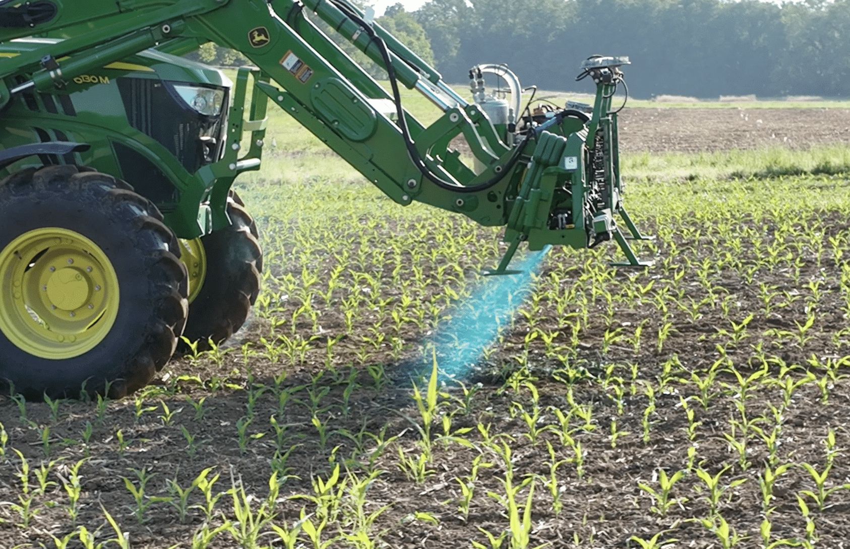
The goal of precision weed management is to increase the efficiency and effectiveness of management practices by using the right tool, at the right intensity, at the right time and only where needed.
1. What Are the Goals & Benefits of Precision Weed Management?
The goal of precision weed management is to increase the efficiency and effectiveness of management practices by using the right tool, at the right intensity, at the right time and only where needed.
For example, a farmer might use sensors on a spray boom to detect and spray only when weeds are present, or a drone camera might identify areas of a field where a cover crop didn’t grow well – alerting a farmer that they may need to adjust their herbicide usage or fertilizer rates to those areas.
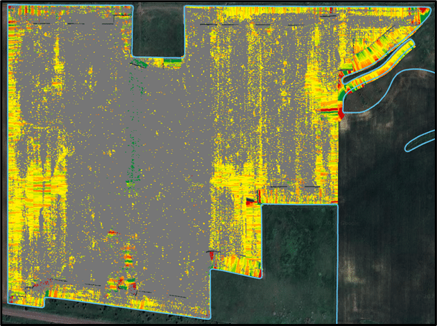
Camera systems can also create maps of crop performance and weed populations within a field, which can help the farmer monitor the effectiveness of their management and make adjustments where necessary. Maps can also inform future management plans. As in the examples above, precision tactics can reduce the amount of herbicides and other inputs needed for crop production while improving overall weed management outcomes and crop yields compared to conventional management practices. This can result in lower production costs and/or higher revenues for farmers, leading to higher farm profitability.
2. What Does Precision Weed Management Look Like Today?
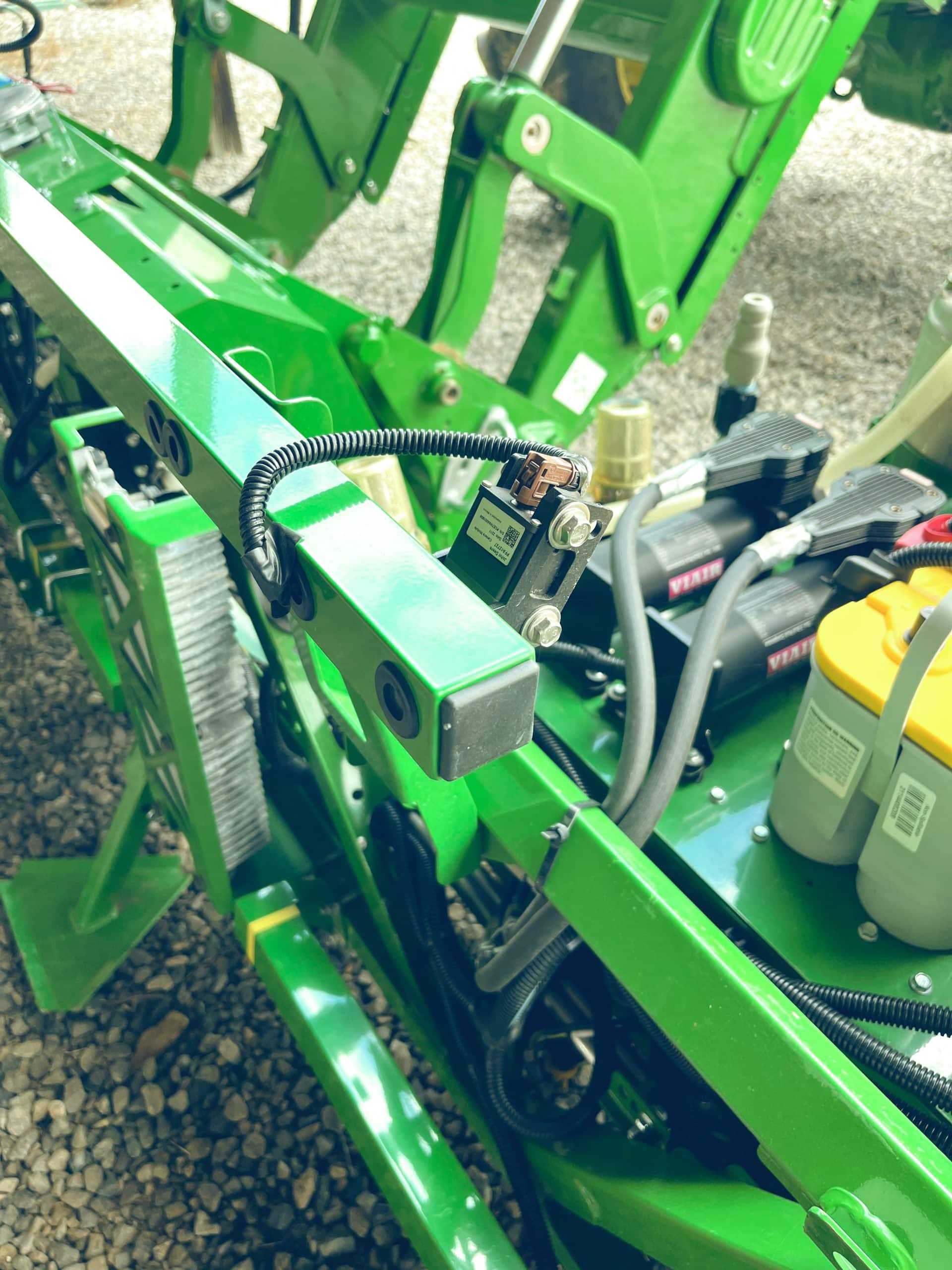
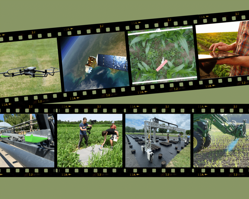
Many forms of precision weed management use camera sensors to detect and distinguish weeds from crops. For example, robotic weeders are being developed to detect and kill weeds based on differences in size and height compared to crop plants.
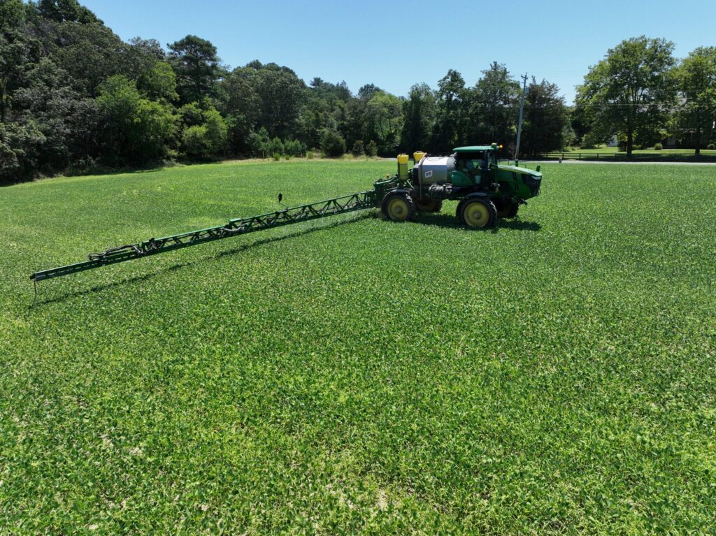
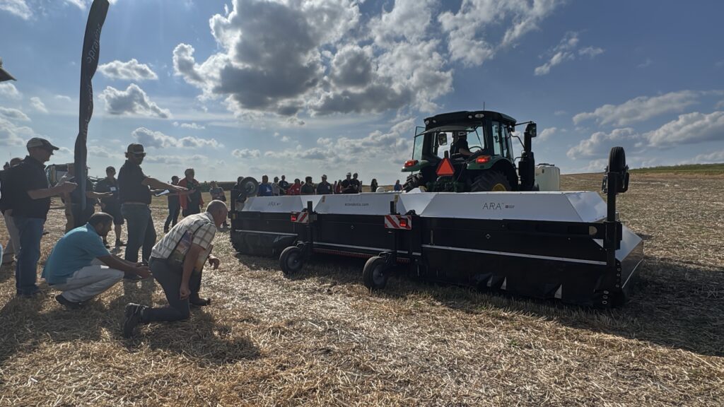
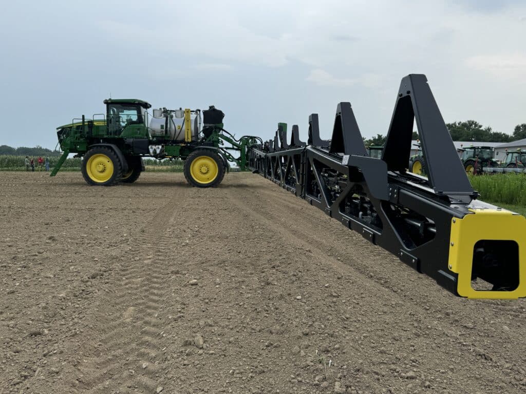
Cameras, sensors and data processing units mounted on spray booms that can identify and spray individual weeds within a growing crop are at or nearing commercialization, from companies such as John Deere, Blue River Technology, WEED-IT, Greeneye Technology, One SmartSpray and Billberry.
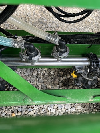
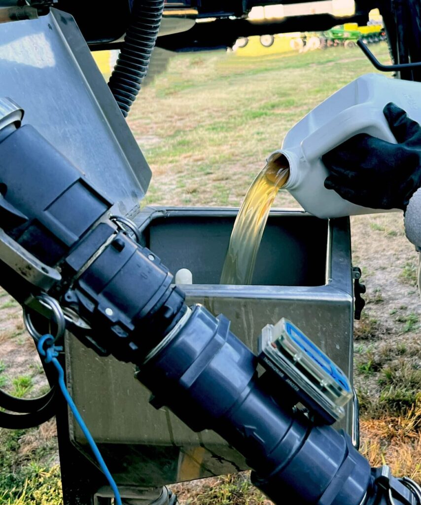
These precision sprayers utilize dual tank systems, which allow applicators to run one set of chemicals through one set of nozzles for broadcast application, while another set of nozzles delivers a different load of chemicals to targeted weeds.
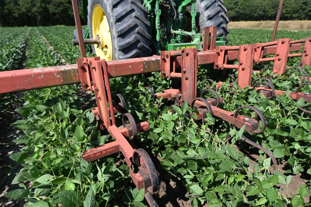
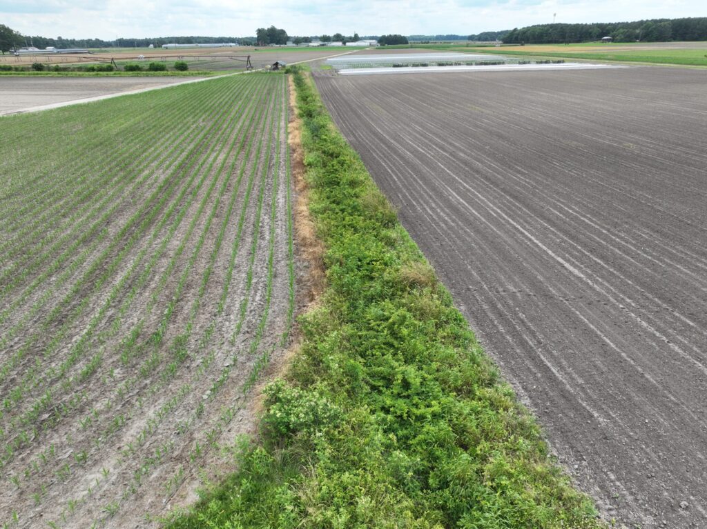
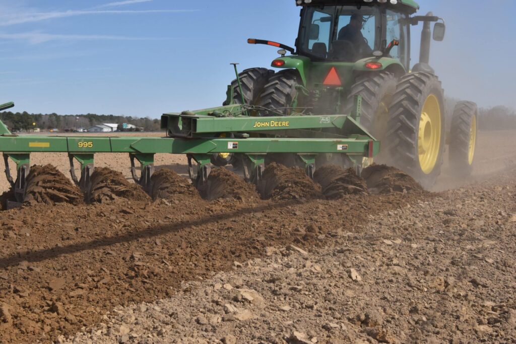
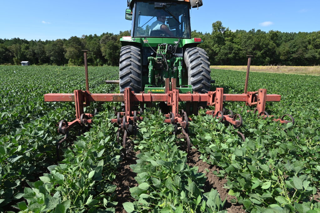
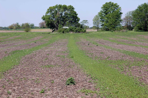
Precision weed management that does not rely on active sensors typically utilizes GPS-guided tractors or robotic platforms and information about field boundaries as well as crop row locations and spacing to apply management practices to areas where crop plants are not expected to be. Examples include inter-row herbicide applications and precision cultivation practices such as band sowing and hoeing.
3. What Are Current GROW Projects on Precision Weed Management?
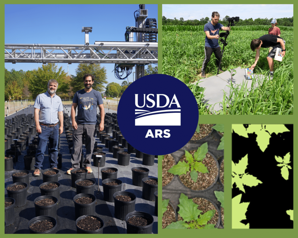
GROW researchers are actively working on precision weed management projects, including collaborations with Precision Sustainable Agriculture (PSA), a public ag tech development network.
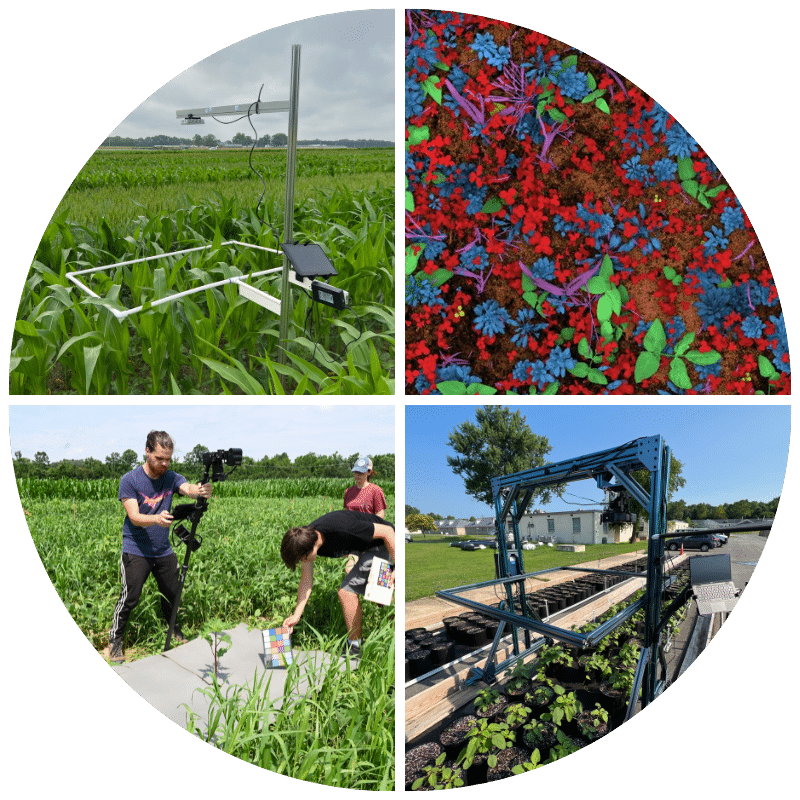
The Agricultural Image Repository (AgImageRepo)
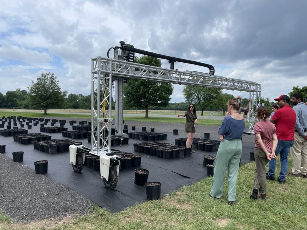
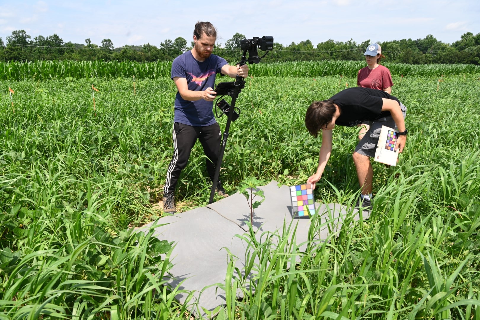
GROW and PSA researchers are actively building an Agricultural Image Repository (AgImageRepo) of weeds, cover crops and common cash crops such as corn, cotton and soybeans.
The goal is to create a database of tens of thousands of high-resolution images collected with uniform protocols that can be used to train sensors and other computer vision models to identify weeds, cover crops and cash crops to the species level in real time. While such databases exist within private industry, the AgImageRepo will be public and open-access, to speed the development of precision ag technologies and make them more accessible and affordable for the entire agricultural community.
Visit Precision Sustainable Agriculture’s Plant and Soil Sensing pages to learn more.
PlantMap3D
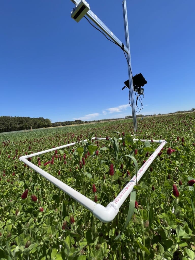
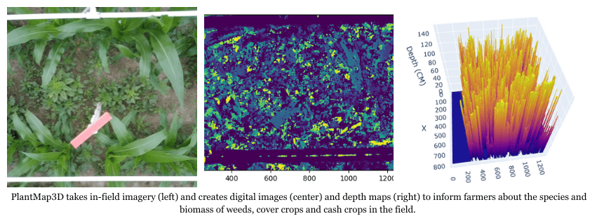
GROW and PSA are collaborating on the development of PlantMap3D, which combines new imaging technology and artificial intelligence to map the species, biomass, and densities of weeds, cover crops, and cash crops.
PlantMap3D uses off-the-shelf cameras and open-source software to generate these maps. It is available as a hand-held unit, a tractor-mounted unit, or multiple cameras networked across large spray-booms. Weed scientists and on-farm research networks across the US are currently testing this new technology, which GROW and PSA aim to make commercially available by 2028.
Visit Precision Sustainable Agriculture’s Plant and Soil Sensing pages to learn more.
Decision Support Tools (DSTs)
 GROW and PSA researchers are developing digital tools that assist growers with common farm and weed management decisions, such as what cover crop species best meet their needs or what herbicides are effective on problematic weeds in their region.
Some of these open-source DSTs are online and available for free from PSA now. See the Cover Crop Species Selector, the Cover Crop Nitrogen Calculator, and the Cover Crop Economic Decision Support Tool.
Information from mapping systems such as PlantMap3D can be integrated with these tools to allow them to offer even more detailed and informed recommendations. For example, maps of cover crop biomass will eventually be imported into the Cover Crop Nitrogen Calculator to provide variable-rate fertilizer recommendations based on predicted nitrogen release after cover crop termination.
Visit Precision Sustainable Agriculture’s Plant and Soil Sensing pages to learn more.
Farmers Gain Precision Spray Knowledge at Wisconsin Weed Management Workshop
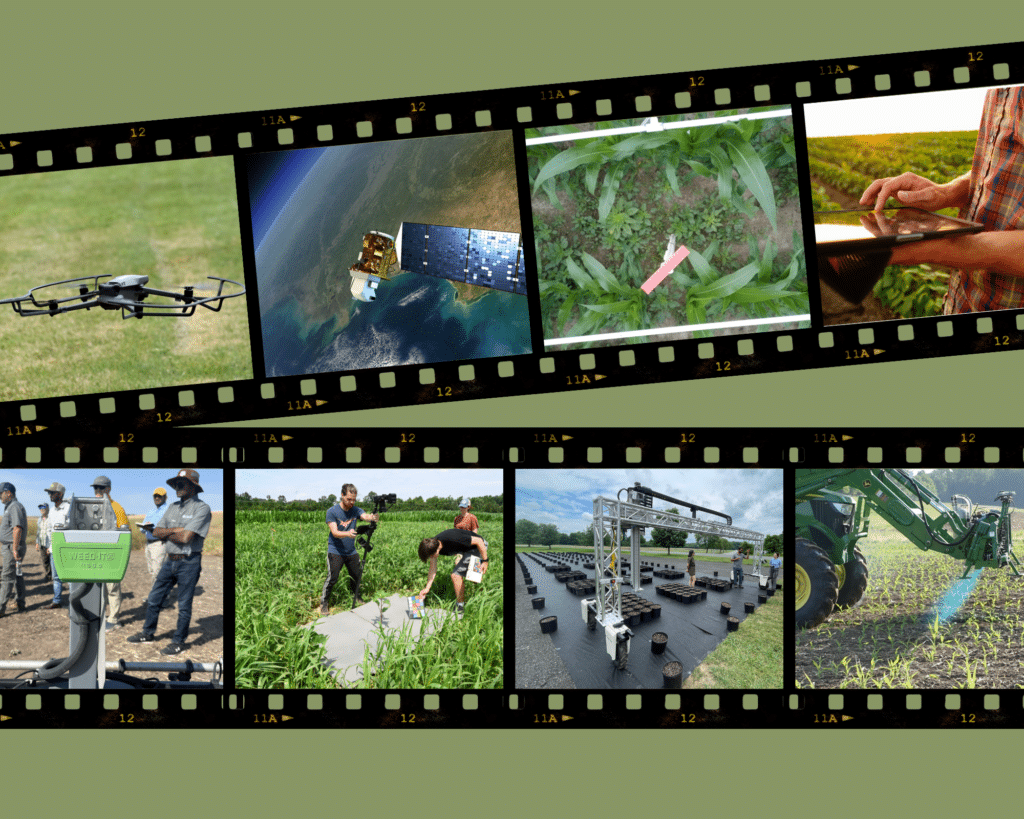
The Power of Public Research: USDA Brings AI to Agriculture
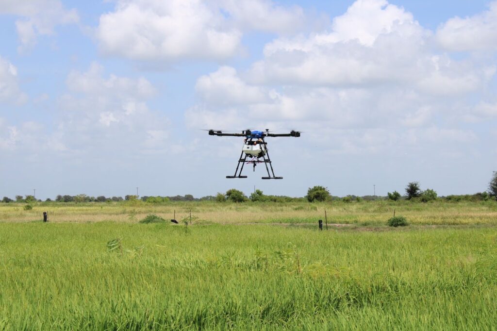
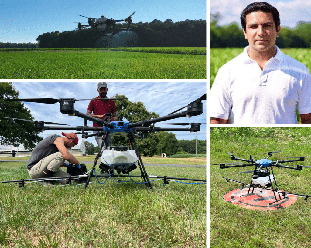
How Drones Could Target Late-Season Weed Escapes in Rice
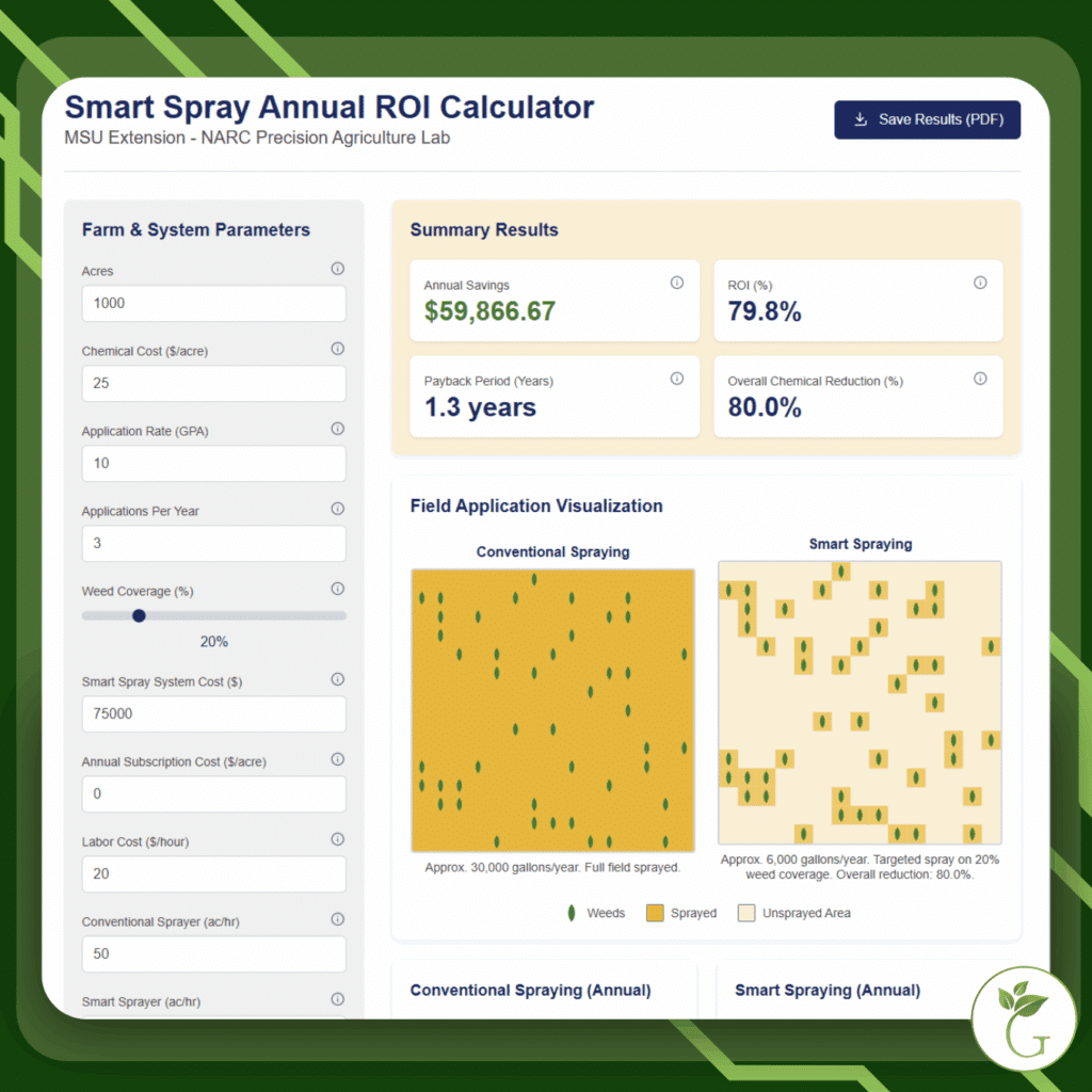
Take the Guesswork Out of Precision Spray Tech with this ROI Calculator
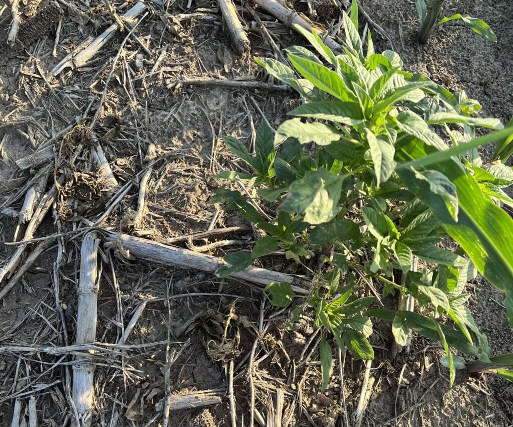
Keep These Tips in Mind When Using Target Sprayers

New Technology Aims to Map Cereal Rye Cover Crop Biomass
Robotics in Agriculture Gets an Assist from USDA-ARS
Spraying Herbicides with Drones: An Overview from Virginia Tech
Farmer Forum Recap: Targeted Spray Technologies in the Field
Herbicide Savings From Precision Spraying Technology
Eyes in the Sky and Eyes on the Ground: The Range of Camera-based Weed Detection
Spray Drone Research & Tech on Display at Mid-Atlantic Workshop

Stack Cover Crops with Residual Herbicides to Conquer Italian Ryegrass
Researchers Pinpoint Goldilocks Zone for Cover Crop Termination in Corn in the Mid-Atlantic
Could We Shock Cover Crops for Termination?

Cover Crops for Weed Management: Get the Latest & Greatest from GROW
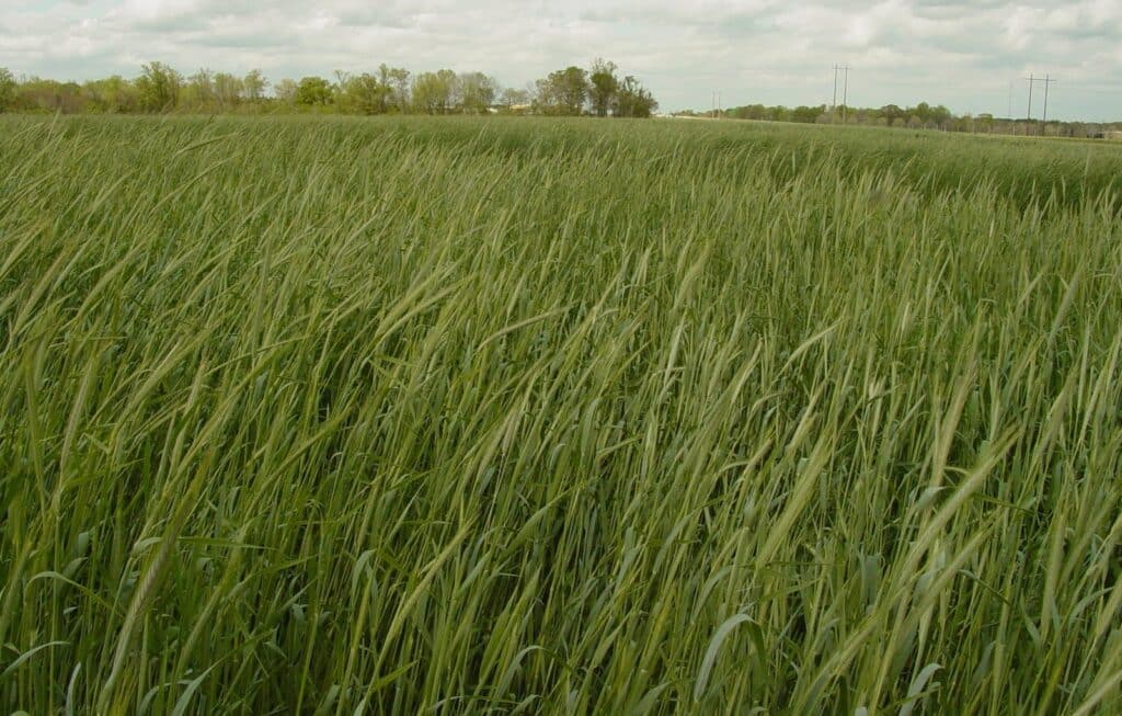
Could Cereal Rye Be the Next Johnsongrass or Kudzu?
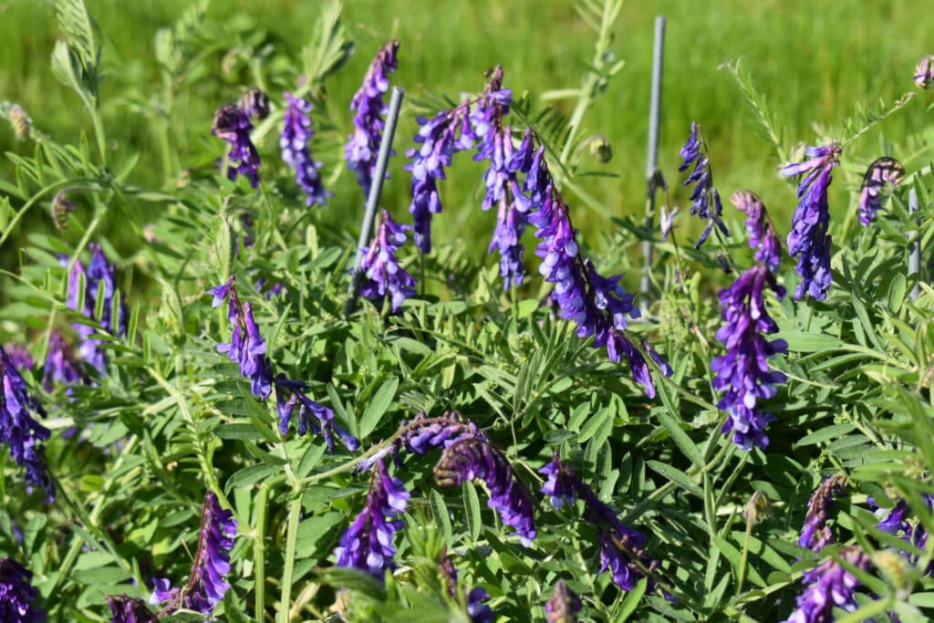
Research Unveils the Secret Life of Hairy Vetch — And How to Change It
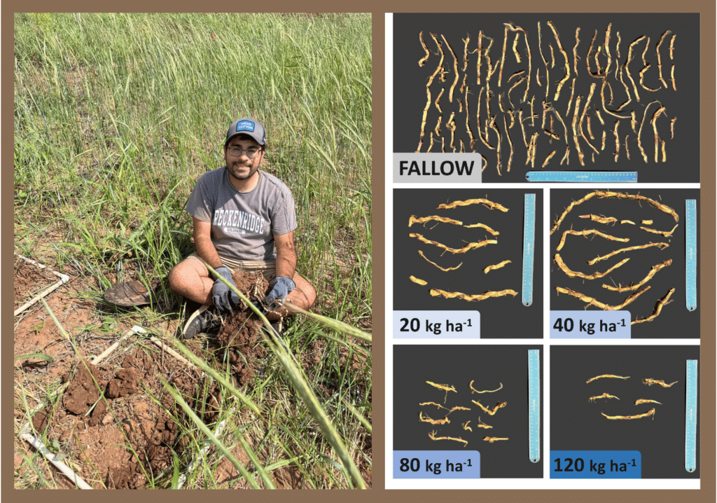
Underground Warfare: Cereal Rye Cover Crop Suppresses Johnsongrass Rhizomes
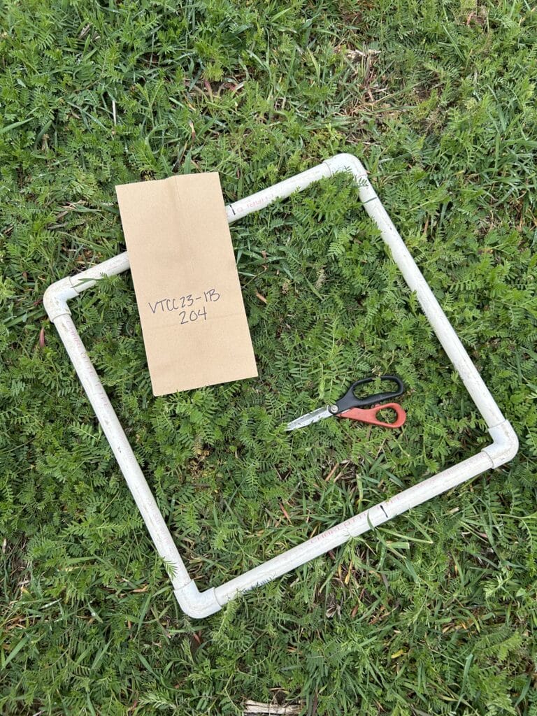
Mix Cereal Rye with Hairy Vetch to Cash In on Cover Crop Benefits
A Handheld Extension Agent? GROW Researchers Put ExtensionBot to the Test
Insecticides May Contribute to Bigger Problems with Certain Weeds
Squash Pigweeds With These Cover Crop Management Strategies
How to Manage Cereal Rye in the Upper Midwest for Weed Suppression and Max Yields

Stack Cover Crops with Residual Herbicides to Conquer Italian Ryegrass
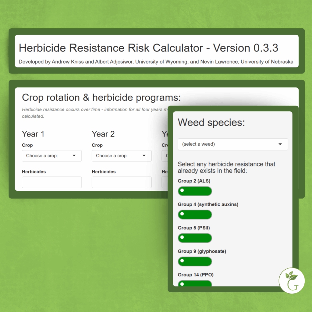
Check Your Herbicide-Resistance Risk with This Calculator

Researchers Pinpoint Goldilocks Zone for Cover Crop Termination in Corn in the Mid-Atlantic
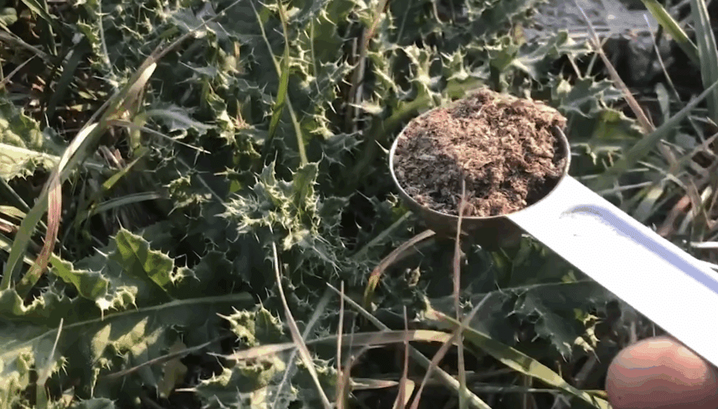
Could A Fungus Help Farmers Fight Canada Thistle?

Farmers Gain Precision Spray Knowledge at Wisconsin Weed Management Workshop

The Power of Public Research: USDA Brings AI to Agriculture
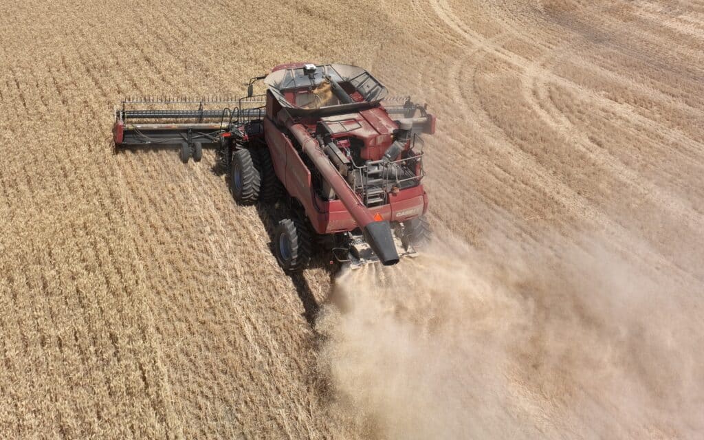
GROW’s New Harvest Weed Seed Control Webpage Makes Understanding HWSC Simple
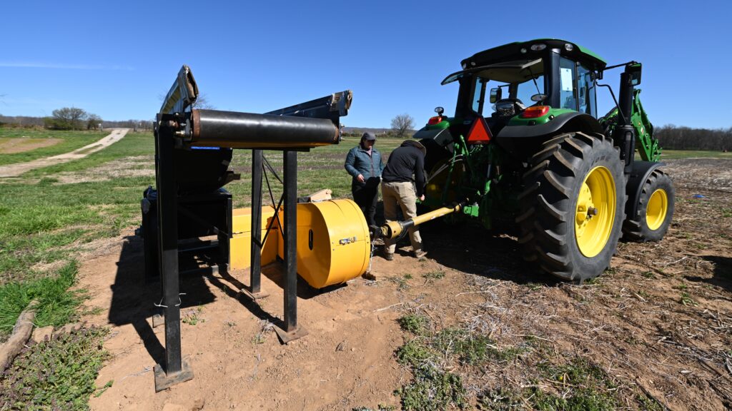
Research Suggests Seed Impact Mills Could Clean Up Cotton Fields
Get Your Ounce of (Weed Seed) Prevention This Fall
Forged in the Field: Student Weed Contests Test and Train Future Scientists
Killing Giant Ragweed Just Got Harder for Some Wisconsin Farmers

Could We Shock Cover Crops for Termination?
Listen In: HERMON Project Aims to Rapidly ID and Map Herbicide Resistance for Farmers

Stack Cover Crops with Residual Herbicides to Conquer Italian Ryegrass

Check Your Herbicide-Resistance Risk with This Calculator
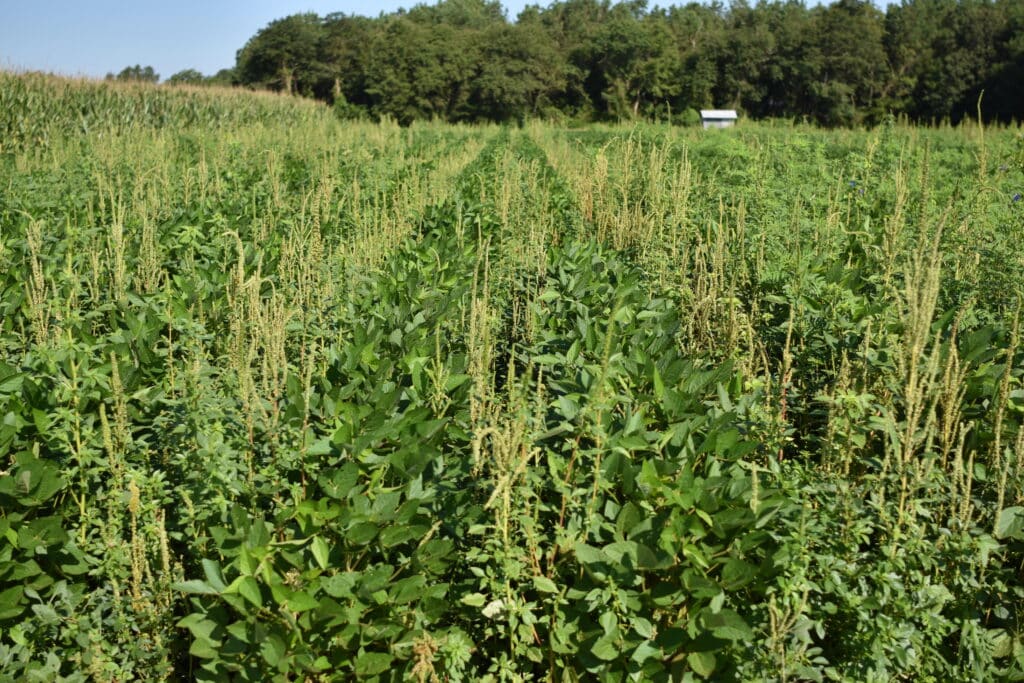
WSSA Survey Shows an Urgent Need for New Weed Control Strategies

Take Action’s 2026 Herbicide Classification Chart Now Available!

GROW’s New Harvest Weed Seed Control Webpage Makes Understanding HWSC Simple
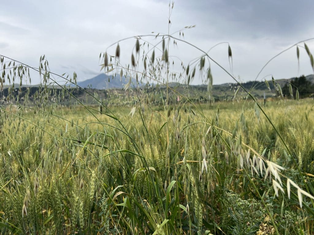
Tame Wild Oats with Early-Maturing Crop Rotations and Harvest Weed Seed Control in the Canadian Prairies

Get Your Ounce of (Weed Seed) Prevention This Fall

Killing Giant Ragweed Just Got Harder for Some Wisconsin Farmers

Could We Shock Cover Crops for Termination?

Cover Crops for Weed Management: Get the Latest & Greatest from GROW

How Drones Could Target Late-Season Weed Escapes in Rice

GROW’s New Harvest Weed Seed Control Webpage Makes Understanding HWSC Simple

Tame Wild Oats with Early-Maturing Crop Rotations and Harvest Weed Seed Control in the Canadian Prairies

Research Suggests Seed Impact Mills Could Clean Up Cotton Fields
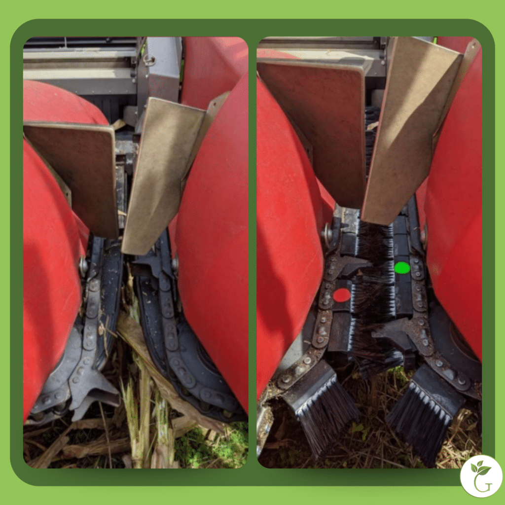
This Harvest Device Catches Corn Kernels and Weed Seeds
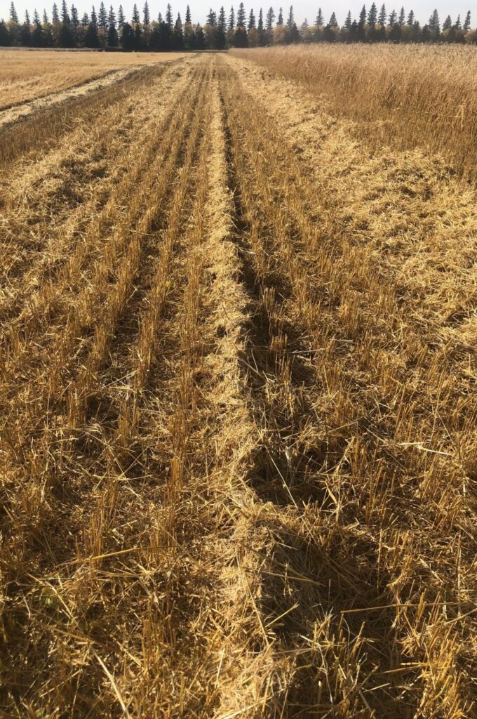
Can Chaff Lining Cut Costs and Corral Weeds in the Canadian Prairies?

A Handheld Extension Agent? GROW Researchers Put ExtensionBot to the Test
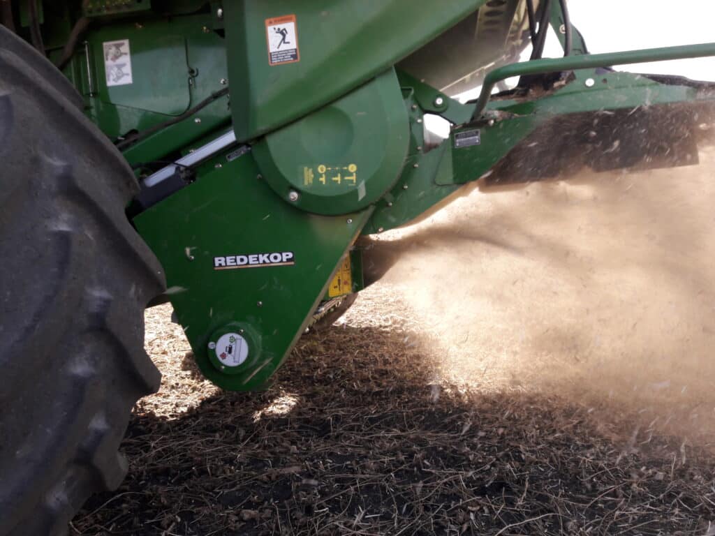
Seed Impact Mill Pulverizes Problematic Waterhemp in New Study

Weed Management Planner: Order Your Free Prints Now!
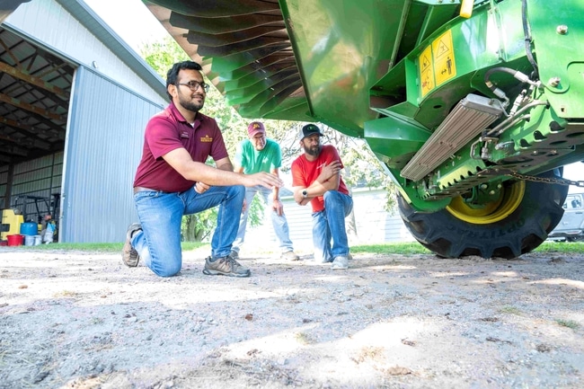
Extension and Farmers Greet Weed Control Option with ‘G’day’

GROW Releases New Herbicide Resistance Resource for the Industry
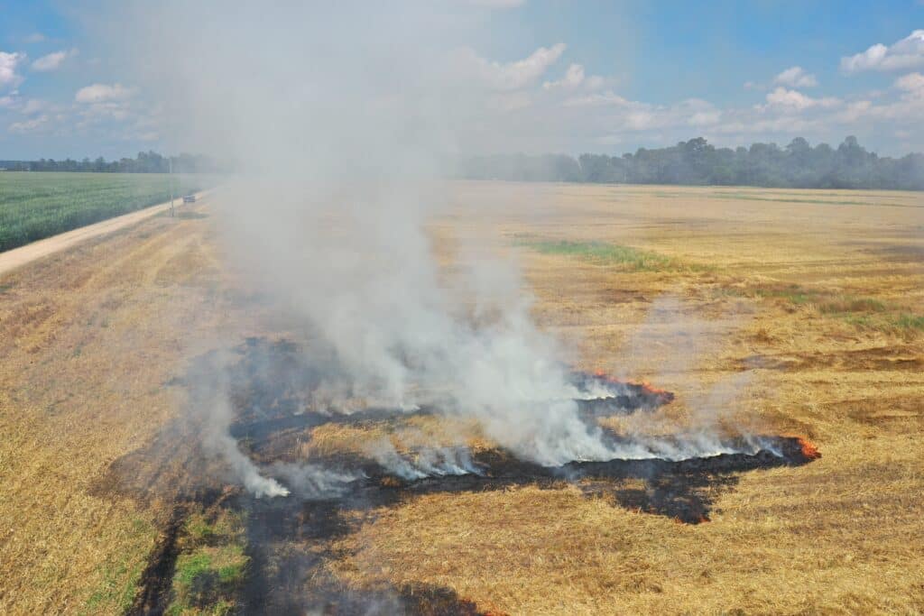
Narrow Windrow Burning for Weed Seed Control is Risky Business
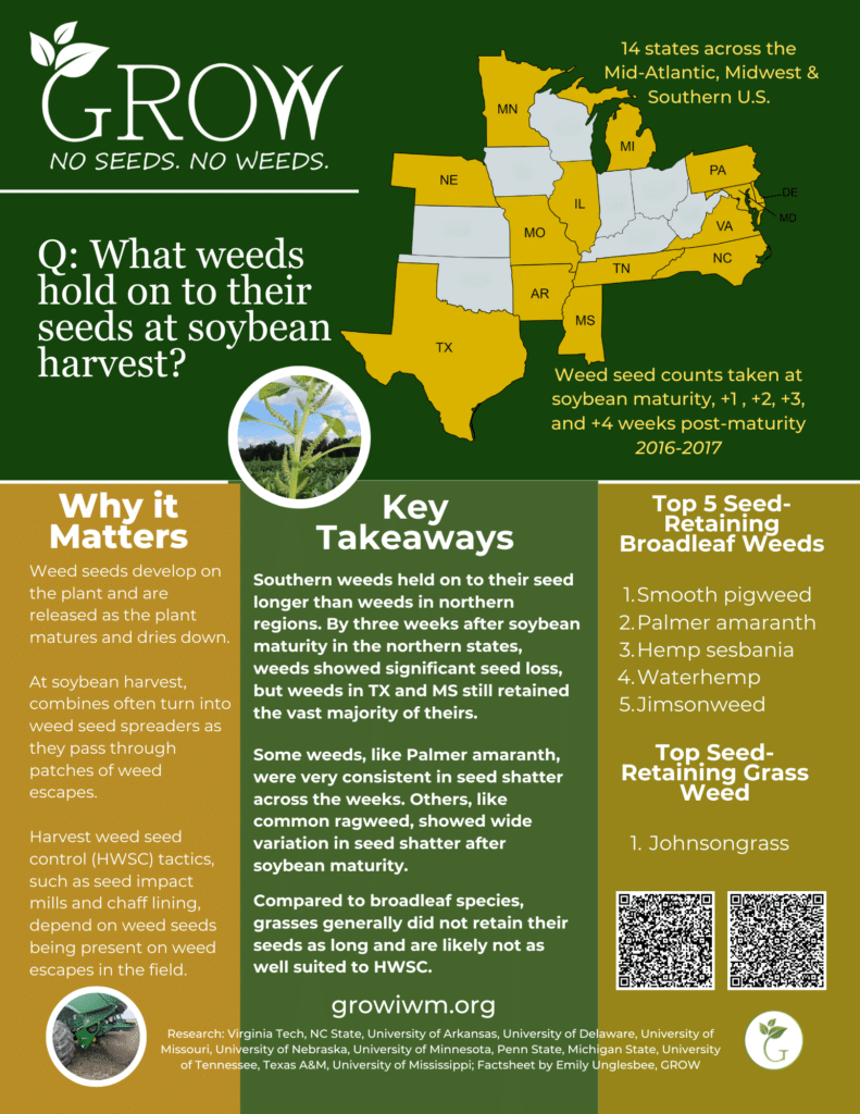
Learn When Weeds Shed Their Seeds (And Why It Matters!)
Authors:
Eugene Law
April Dobbs
Daniel Ginn
Matthew Kutugata
Steven Mirsky
Søren Skovsen
Editors:
Emily Unglesbee
Elizabeth Seyler
Mark VanGessel
Michael Flessner
