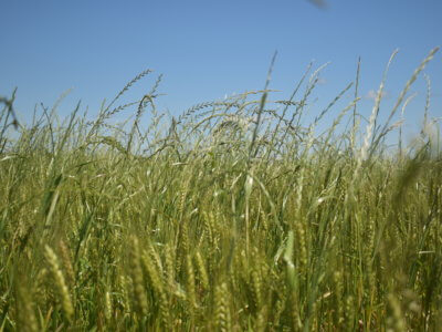
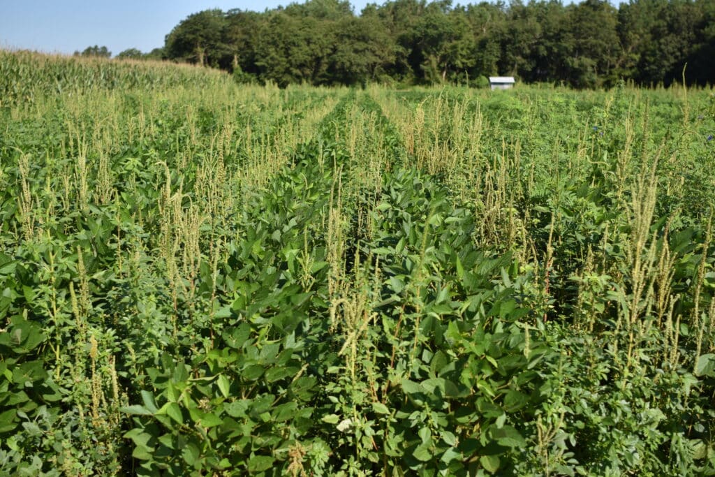
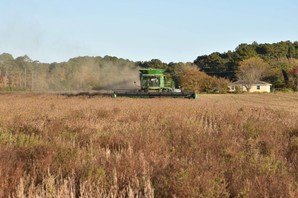
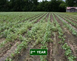
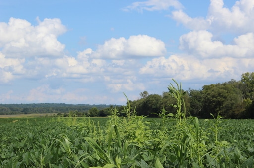
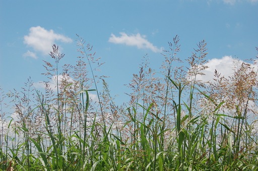
There’s eyes everywhere these days – even in our crop fields.
Whether it’s tractor-mounted sensors skimming just inches above the crop canopy or satellites orbiting earth, the surveillance state is coming for the weeds of the world!
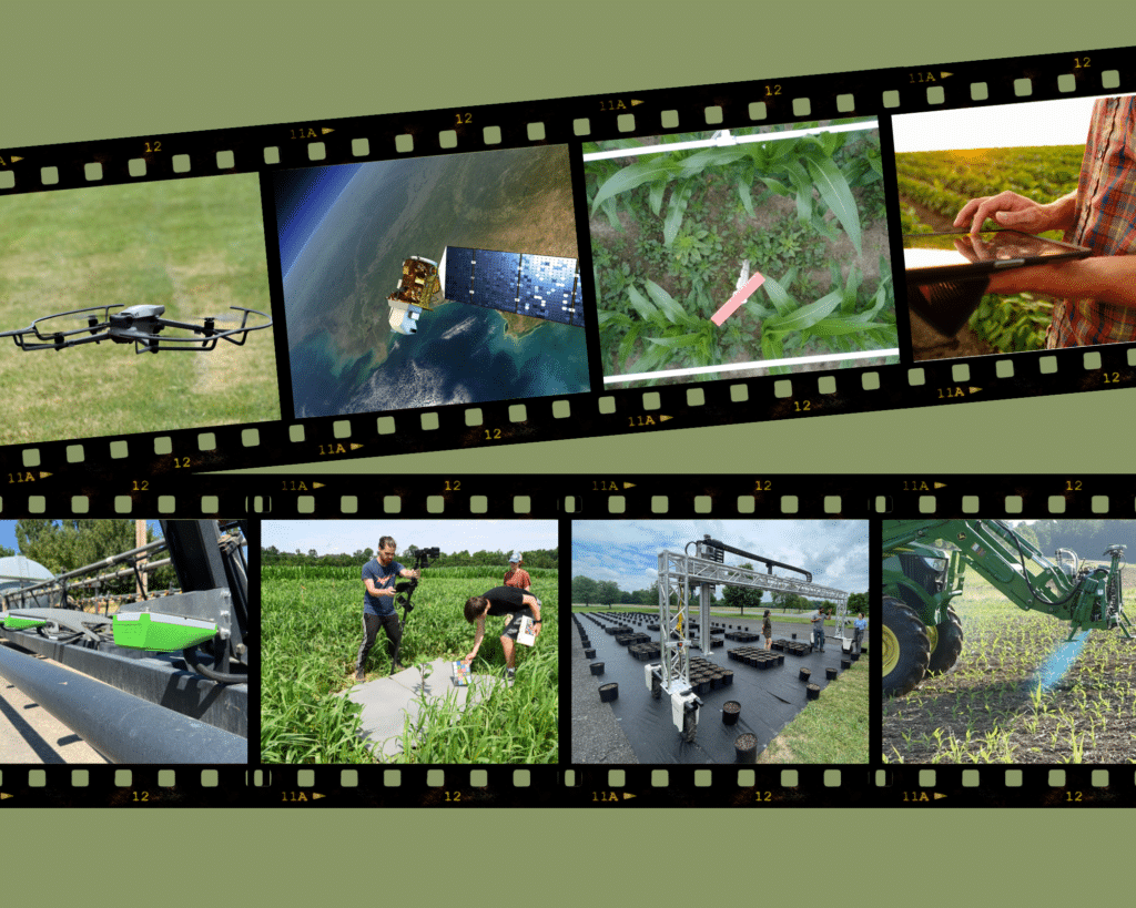
From Field Rows to Space and Back
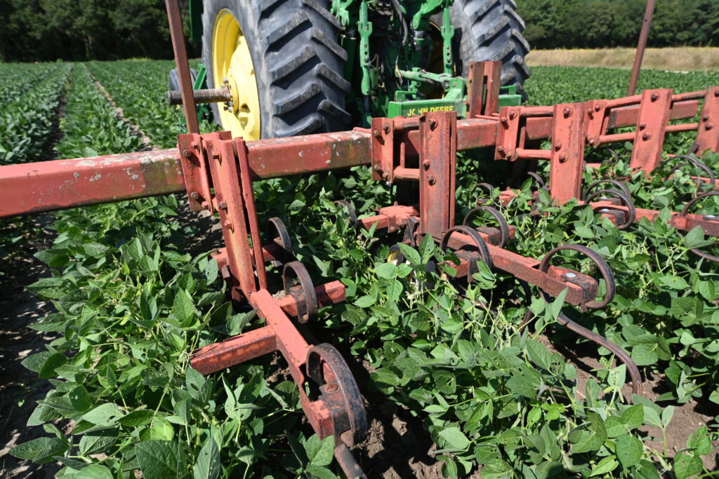
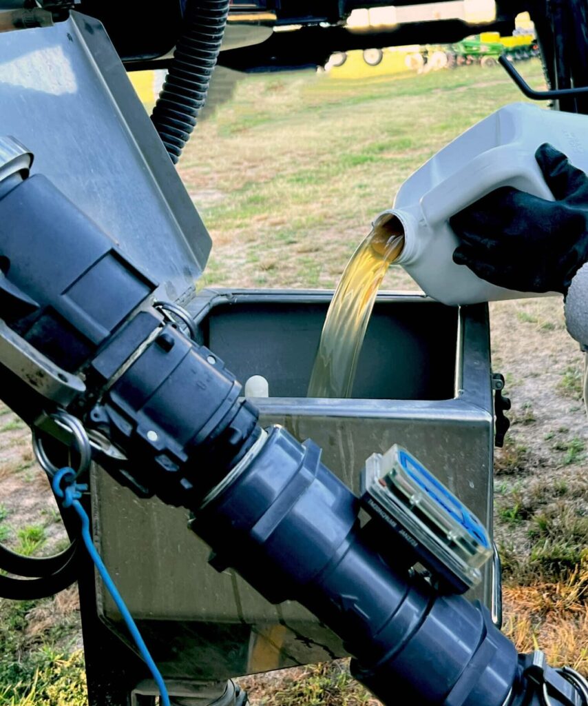
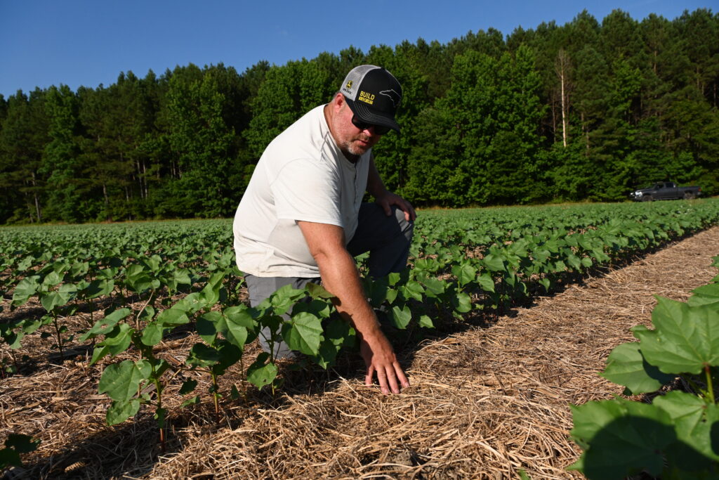
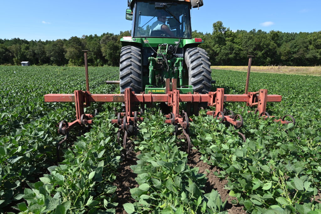
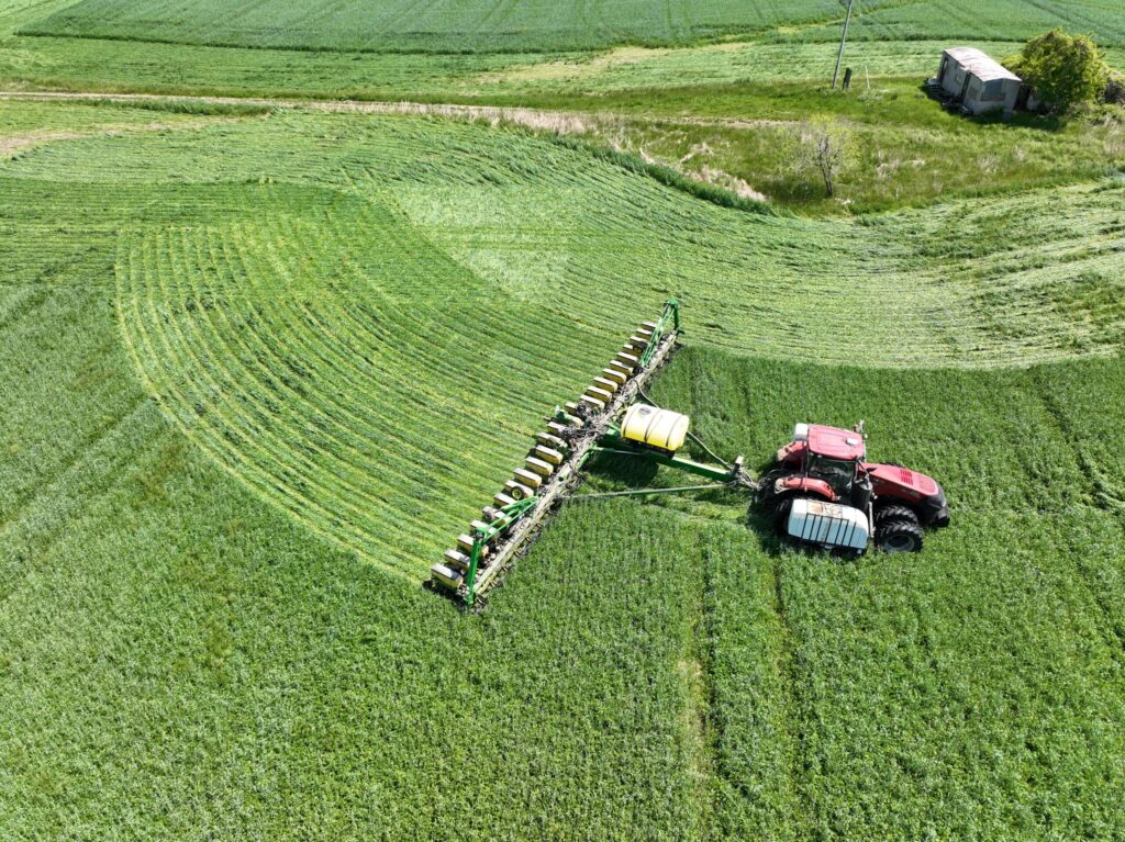
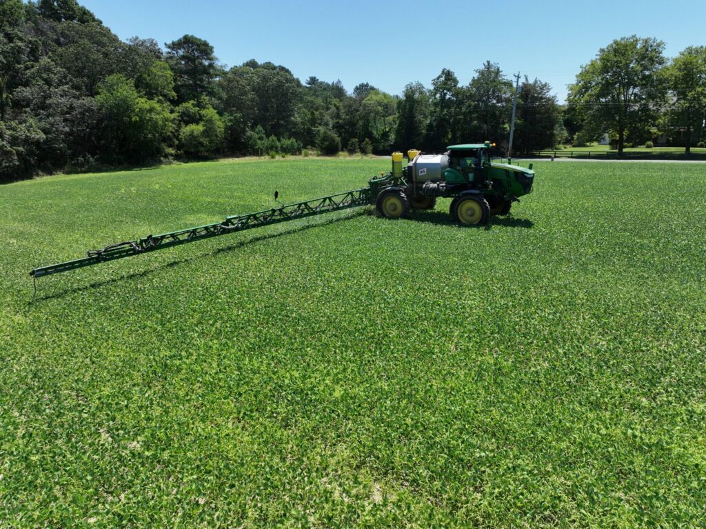
Precision spray systems, such as the See & Spray Ultimate from John Deere and Blue River, the WEED-IT, or Greeneye Technology’s retrofit sprayers, have garnered a lot of attention for their boom-mounted sensors that can detect and target individual weeds in realtime and have the potential to significantly reduce herbicide use.
A little higher off the ground, cameras mounted on drones have long been used to scout fields, but are now becoming a significant player in precision spraying. (See a GROW Farmer Forum on the state of the drone spraying industry and a recent Virginia Tech workshop on the topic.)
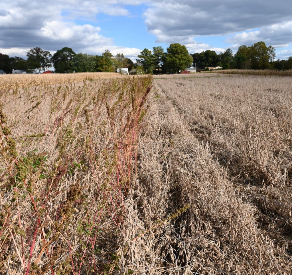
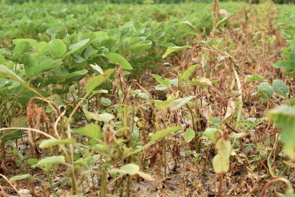
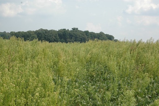
But at least one company, Geco Strategic Weed Management, is starting the cameras rolling a lot higher up. The Canadian-based company is using satellite-generated maps of its customer’s fields to model and track weed populations over time and predict seasonal weed flushes. “When you’ve looked at over 100 fields across 5 years, you can start to see patterns emerge in each field,” explains Greg Stewart, the CEO of Geco, which operates in wheat, canola, barley, corn and soybean fields in the Canadian Prairies and the Dakotas. The company produces prescriptions that farmers can load into their equipment, be it a granular applicator, sprayer or even seed drill, to target those hotspots, Stewart says.
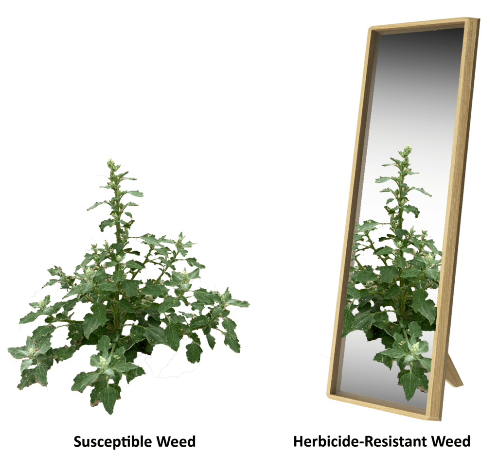
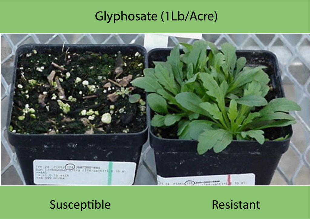
While the maps primarily help farmers target pre-emergent or fallow applications for problematic weed hotspots, Stewart says the sky-high view can also help track the development of herbicide resistance. “You’ll find patches of a certain size that don’t respond to certain herbicide applications, and you can direct a farmer to scout those patches,” he explained.
But ultimately, precision weed management can benefit from a range of sensors, Stewart notes. His company is increasingly adding the data gleaned from customers’ drone and tractor-mounted sensors together with the satellite’s multi-year views to create a more potent predictive management tool.
“While you can get close to perfect accuracy on weed populations in a field from a drone or sprayer on the day you use it, we still rely on the historic satellite imagery to make predictions,” Stewart noted. “We need the long-term data on the history of those weed flushes, so really having both available is best.”
Getting Camera-based Weed Detection into the Public Sphere
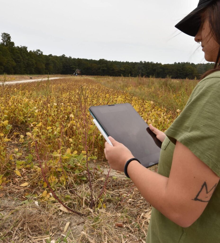
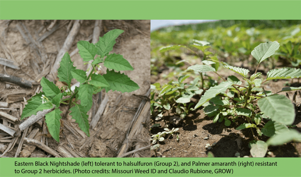
Most of the advances in camera-based weed detection have come from the private sphere, but Precision Sustainable Agriculture (PSA) and GROW are working on a public, open-source agricultural image repository that aims to make these systems more accessible to the public.
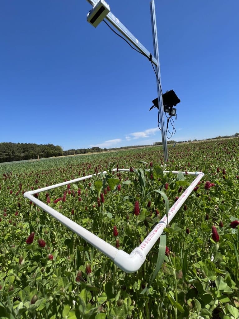
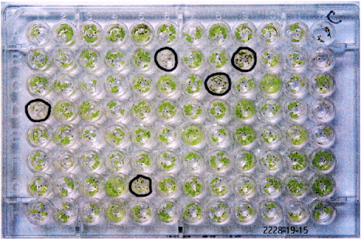
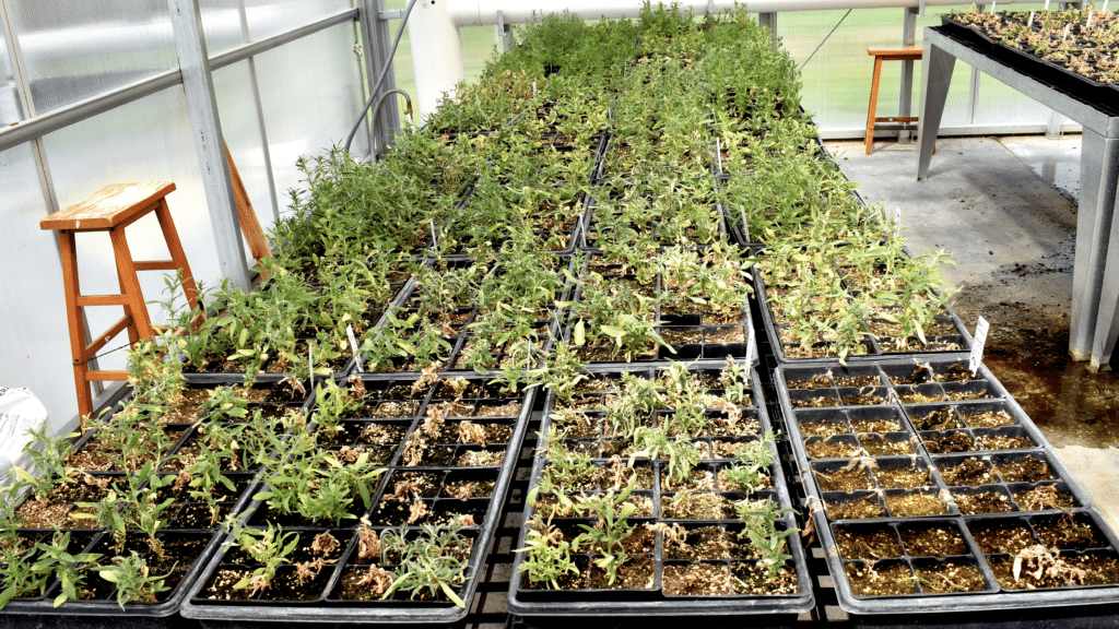
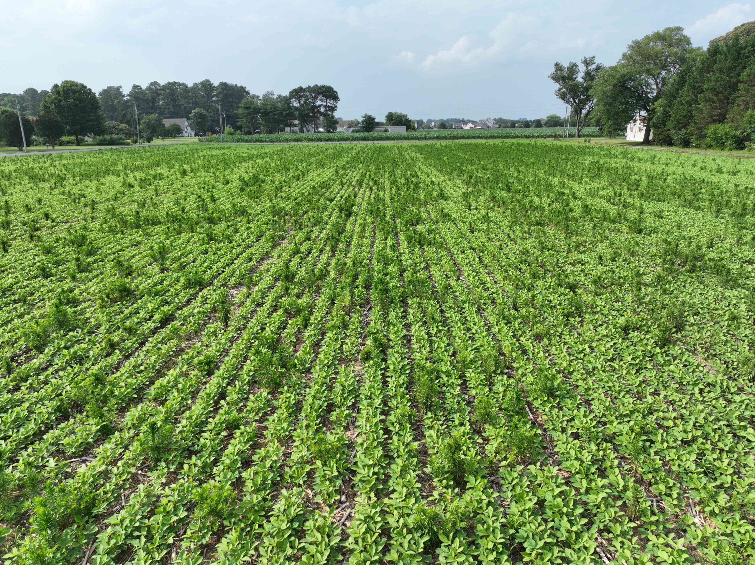
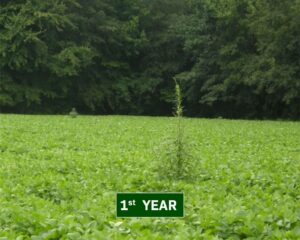
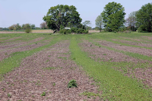
The AgImageRepo is being built by a network of land-grant university and federal scientists around the country, collecting high-quality images of weed, cash crop and cover crop species using uniform imaging and labeling protocols. PSA also operates the BenchBot, a mobile robotic platform that collect thousands of images of plant specimens from emergence to mature growth for phenotyping.
Ultimately, AgImagRepo can be used to train computer vision models to detect and identify weeds, cover crops, and cash crops in realtime. Thanks to the use of stereo cameras, which add depth data to an image, PSA researchers are also designing PlantMap3D, a hardware and software system to map the density and biomass of cover crops and weeds in the field, as well as the species.
That information, along with other data streams, is helping build digital tools such as the Cover Crop Nitrogen Calculator, which helps farmers estimate how much nitrogen they can expect from a cover crop each season and adjust their fertilizer use accordingly.
Stay tuned for further developments on precision weed management tactics on GROW’s News Page and the Precision Weed Management page as well as PSA’s website.
Article by Emily Unglesbee, GROW; header photo by PSA